The 1st geographical map of Mars is now a reality. The digital interpretation of the Red Planet will be an irreplaceable tool for future pioneers on Mars.
The British company Ordnance Survey is the author of the unique work. The geographical map of Mars spans over 3.8 million sq mi (10 million sq km), about 7% of the total Martian surface area.
To develop their map, geologists used free data provided by NASA. For its formation, the same methodology that was used to create a map of Earth was applied. However, this is the 1st map of its kind of another planet ever created.
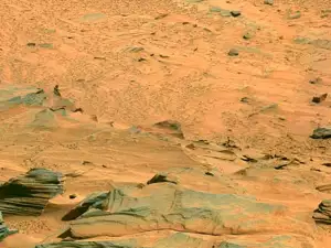
Mars has quite a different topography from our own native planet. The surface there is much more uneven, in most cases at negative elevation and its exact portrayal, and especially visualization, even on a map, is several fold more difficult. A huge obstacle for the creators of the digital map was also the fact that the pictures and data from NASA were not perfect quality and elevations could not be applied with precision.
The design and aesthetics of the Mars map closely resemble those of Earth's maps. Even though the cartographic style differs when it's being used for a planetary map, there are several main components which are identical. Some of the major features are the soft color palette, brown-orange contours, latitudes and longitudes and the characteristic layout with the title, scale and legend.
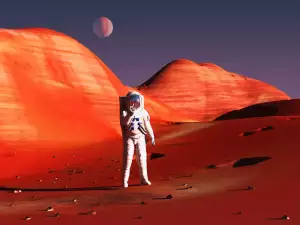
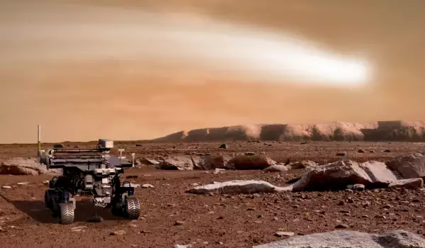
The geographical map of Mars will be tested for the first time in 2019 by the first British Mars rover, which will make its way across the surface of the Red Planet.
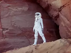
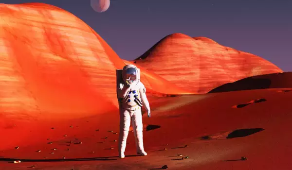
According to its creators, the 1st people who will someday walk freely on Mars will also need a map to find their way. The Martian map is yet another small step that brings us closer to exploring this remarkable world.